Pixxel's Hyperspectral Launch Delivers Data Deluge, Turbocharging AI Earth Monitoring
A new era of Earth observation: Pixxel's hyperspectral AI reveals invisible planetary insights for industry, agriculture, and climate action.
August 27, 2025
In a significant stride for global Earth observation, space technology firm Pixxel successfully launched three additional Firefly satellites aboard a SpaceX Falcon 9 rocket, completing the first phase of its hyperspectral imaging constellation. This expansion brings Pixxel's orbital presence to six satellites, establishing the most advanced commercial hyperspectral constellation to date and promising an unprecedented new layer of data for environmental monitoring, agriculture, and various industrial sectors. The successful deployment not only marks a milestone for the US-Indian company but also signals a new era for the artificial intelligence industry, which stands to gain a massive influx of complex, high-fidelity data to train and refine analytical models. This mission lays the crucial groundwork for Pixxel's forthcoming Honeybee satellite constellation, which will further enhance its capabilities by extending into short-wave infrared (SWIR) bands.
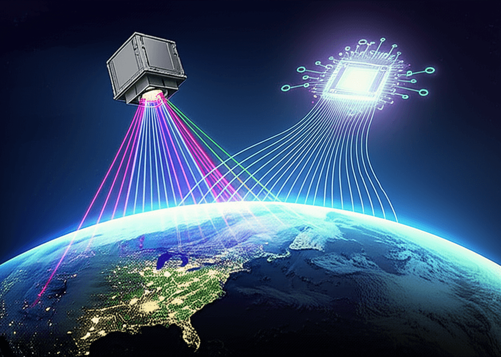
At the heart of Pixxel's mission is hyperspectral imaging, a technology that captures data from across the electromagnetic spectrum, far beyond the red, green, and blue bands of conventional satellites. Each of the ~50-kilogram Firefly satellites can see the world in more than 135 spectral bands with a 5-meter resolution, providing a unique "spectral fingerprint" for any material on Earth. This level of detail allows for the identification of phenomena invisible to the naked eye or standard satellite imagery. For instance, where a normal satellite can identify a forest, Pixxel's technology can distinguish between tree species and assess their health.[1] This capability offers profound implications for a variety of sectors, including detecting crop stress and soil nutrient deficiencies in agriculture, identifying mineral compositions for mining operations, and spotting methane leaks or oil spills in the energy sector.[2][3] With the six-satellite constellation now complete, Pixxel can revisit any point on Earth daily, transforming what were once isolated snapshots into a continuous stream of planetary data.[4][5]
The true potential of this vast dataset can only be unlocked through advanced artificial intelligence. The sheer volume and complexity of hyperspectral data, with its hundreds of spectral bands for every pixel, present both a challenge and an immense opportunity for the AI industry.[6] Traditional data analysis methods are often overwhelmed by this "curse of dimensionality," where the sheer volume of information can obscure meaningful insights.[6] This is where AI and machine learning, particularly deep learning models like Convolutional Neural Networks (CNNs), become essential. These algorithms are adept at processing massive, complex datasets, identifying subtle patterns, reducing data redundancy, and extracting actionable intelligence.[6][7] Pixxel is tackling this head-on with its AI-powered analytics platform, Aurora, which is designed to make hyperspectral analysis accessible to a broader range of users.[1] The platform will enable customers to analyze and derive insights without needing deep expertise in remote sensing, fueling AI-driven applications that can predict crop yields, monitor deforestation, and track the impact of climate change with greater accuracy than ever before.[8] The partnership with firms like Enabled Intelligence to provide annotated hyperspectral imagery for AI models further underscores the symbiotic relationship between advanced imaging and AI development.[9]
From a commercial and strategic standpoint, Pixxel has positioned itself as a significant player in the burgeoning private space sector. The company has successfully raised a total of $95 million in funding, with notable investors including Google, Radical Ventures, Lightspeed, and M&G Catalyst.[4][10] This financial backing has been crucial for funding its ambitious constellation plans, which ultimately envision a fleet of 18 to 24 satellites.[11][12] Pixxel's customer base already includes over 50 clients, ranging from agricultural technology companies and mining giants like Rio Tinto to government agencies such as the U.S. National Reconnaissance Office.[13][14] While Pixxel has established a strong foothold, it operates in a competitive landscape with other players like Planet Labs and Orbital Sidekick also developing their own hyperspectral imaging capabilities.[13][15] However, Pixxel's focus on building one of the highest-resolution commercial constellations gives it a distinct edge in a market hungry for more detailed and frequent geospatial intelligence.[4] The company's future developments are centered on the Honeybee constellation, which will offer enhanced capabilities by imaging in the Short-Wave Infrared (SWIR) spectrum, opening up even more use cases and providing quicker revisit times.[16][17]
In conclusion, Pixxel's recent launch with SpaceX is more than just an addition of satellites to orbit; it represents a significant leap forward in our ability to monitor the Earth in detail. By completing the first phase of its Firefly constellation, the company has created a powerful tool for understanding and managing our planet's resources and ecosystems. The fusion of this high-resolution hyperspectral data with sophisticated AI is set to revolutionize decision-making across industries, from ensuring food security to accelerating climate action. As Pixxel continues to build out its constellation with the upcoming Honeybee satellites, the continuous stream of rich, detailed data will not only fuel a new generation of AI applications but also provide a vital health monitor for a planet facing unprecedented challenges.[17][1]
Sources
[1]
[2]
[4]
[5]
[6]
[7]
[12]
[13]
[14]
[15]
[16]
[17]