Google Gemini AI Transforms Earth Analysis for Proactive Global Solutions
Google's AI now answers multi-step questions about Earth, transforming complex data into proactive solutions for global challenges.
October 24, 2025
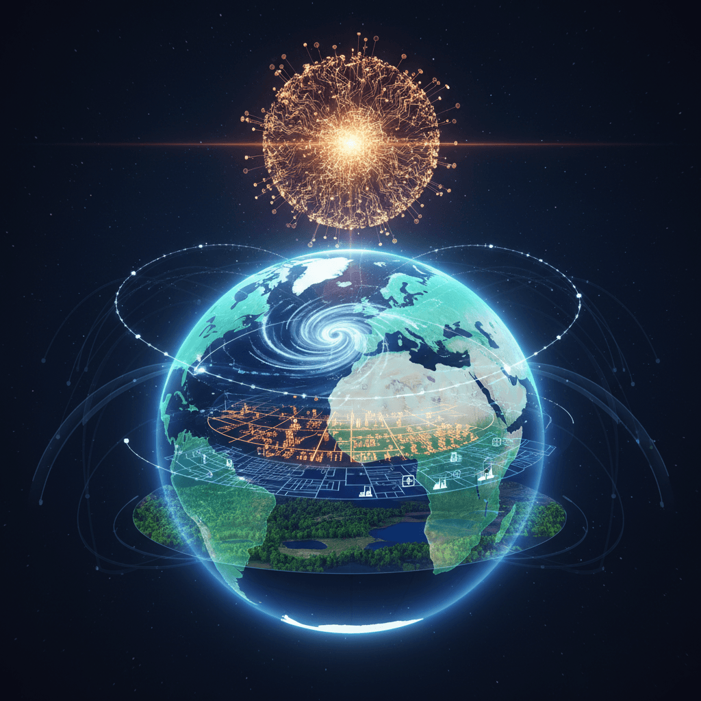
In a significant leap forward for planetary-scale environmental monitoring and disaster response, Google has integrated its advanced Gemini AI models with its Earth AI platform, introducing a powerful capability called Geospatial Reasoning. This development moves beyond static data layers, creating a dynamic system that can analyze and synthesize vast, complex datasets to answer multi-step questions about the physical world. The new framework orchestrates multiple specialized AI models, allowing users to query the Earth using natural language and receive insights that previously required weeks or even years of expert analysis. This fusion of decades of geospatial modeling with Gemini's sophisticated reasoning aims to equip governments, nonprofits, and businesses with the tools to address pressing climate and environmental challenges more effectively.
At the core of this advancement is the ability to connect disparate data sources—such as satellite imagery, weather forecasts, population maps, and environmental data—to provide a holistic understanding of risks and vulnerabilities.[1][2] Instead of merely identifying where a hurricane might make landfall, the system can now predict which communities are most vulnerable by cross-referencing storm paths with socioeconomic data, and then mapping critical infrastructure like hospitals and power stations in those high-risk areas.[3][2] This "what-if" scenario analysis represents a paradigm shift from reactive alerts to proactive prevention and preparedness.[3][2] For example, in a demonstration, the system processed a five-day cyclone forecast, identified Florida counties in the highest-wind path with populations over 20,000, calculated vulnerability scores using health and unemployment data, and then pinpointed at-risk infrastructure, all within minutes.[3] This level of rapid, multi-layered analysis can dramatically accelerate decision-making for emergency responders and humanitarian organizations.
The technical foundation for these new capabilities rests on AlphaEarth Foundations, a sophisticated AI model developed by Google DeepMind that functions like a "virtual satellite."[4][5][6] AlphaEarth integrates petabytes of Earth observation data from diverse sources into a unified, high-resolution digital representation of the planet.[4][5][6] It transforms this complex information into compact numerical summaries called "embeddings" for every 10-by-10-meter cell on Earth, updated annually.[4][7] This approach dramatically reduces data storage requirements and simplifies analysis, allowing for faster and more accurate geospatial tasks like change detection and land-use classification with significantly less error than previous models.[4][5][6] This underlying model empowers the broader Earth AI platform, enabling users of tools like Google Earth to perform complex queries, such as identifying where harmful algae is blooming to protect water supplies or finding where rivers have dried up to anticipate dust storm risks.[1][2]
The implications of this enhanced geospatial intelligence extend far beyond immediate disaster response, touching industries from urban planning and public health to agriculture and insurance. City planners can now analyze urban heat islands, model the impact of new infrastructure, or, with tools like Project Green Light, optimize traffic signal timing to reduce emissions.[8][9] Project Green Light, another of Google's AI for sustainability initiatives, uses traffic pattern data from Google Maps to make recommendations that have been shown to reduce stops by up to 30% and emissions by up to 10% at intersections.[10][11] In public health, organizations like the WHO Regional Office for Africa are using Earth AI to predict cholera outbreaks, enabling better planning for vaccination and sanitation efforts.[1] For the private sector, the applications are equally transformative; satellite companies can monitor deforestation, utility providers can detect vegetation encroaching on power lines to prevent outages, and insurers can more accurately model property damage risk from storms.[3][1] The integration of generative AI into geospatial analysis is fostering a new era of predictive modeling and strategic policymaking.[8][12]
As these powerful tools become more accessible, however, they bring to the forefront critical challenges and ethical considerations. The use of GeoAI raises significant concerns regarding data privacy, algorithmic bias, and data governance.[13][14][15] The massive datasets involved can contain sensitive location information, and biases within the algorithms could lead to inequitable outcomes in resource allocation or risk assessment, potentially amplifying existing societal disparities.[13][14] Furthermore, the technical expertise required to effectively and ethically use these systems remains a barrier.[13] The lack of data standards across different sources can also complicate integration and analysis.[13] Addressing these issues through robust governance, transparency in how models make decisions, and a commitment to equitable design will be crucial as the technology is adopted more widely. The promise of GeoAI is immense, but its responsible implementation will be paramount to ensuring it serves as a tool for positive global change.
Sources
[1]
[2]
[5]
[7]
[8]
[9]
[10]
[11]
[13]
[14]
[15]