AI Transforms Flat Satellite Images into Explorable 3D Cityscapes
Skyfall-GS instantly creates detailed, explorable 3D cities from satellite data, using AI to 'hallucinate' missing details.
November 2, 2025

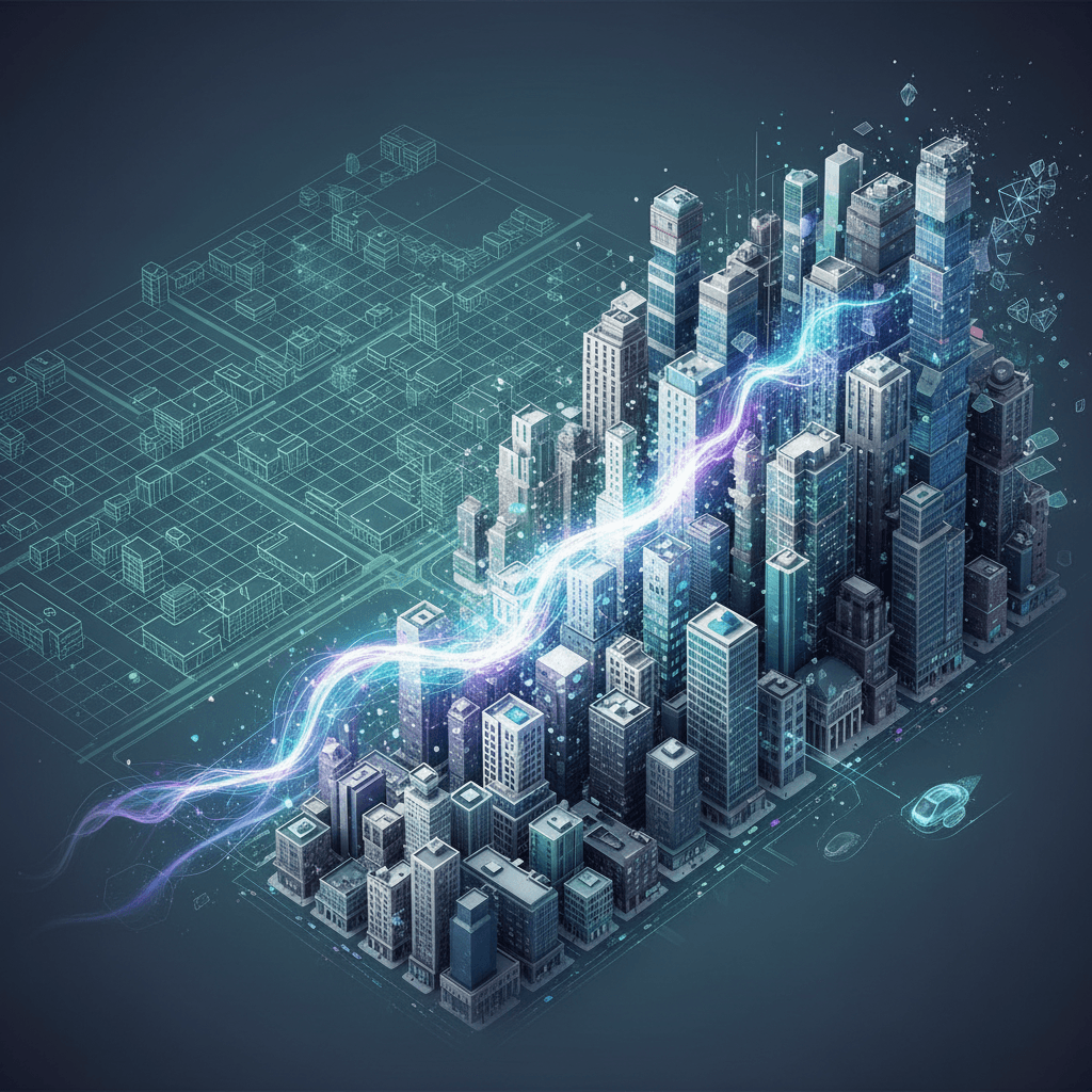
A new artificial intelligence system is revolutionizing the creation of virtual worlds, transforming flat satellite images into fully explorable, three-dimensional cityscapes in real-time. The system, known as Skyfall-GS, represents a significant leap forward in 3D modeling, capable of generating immersive urban environments without the need for expensive and time-consuming data collection methods like 3D scanners or fleets of ground-level camera vehicles. By leveraging readily available satellite imagery, this technology paves the way for the rapid and scalable creation of digital twins for a vast array of applications, from urban planning and entertainment to autonomous vehicle simulation. The breakthrough method synergizes the coarse geometry available from aerial views with the creative power of generative AI to construct realistic details that are not visible from space.
The core innovation of Skyfall-GS lies in its sophisticated two-stage pipeline that overcomes the inherent limitations of traditional 3D reconstruction techniques.[1] Historically, creating detailed 3D city models has relied on methods like photogrammetry, which requires extensive aerial or street-level photographs, or LiDAR, which uses specialized laser scanning equipment.[2][3][4][5] These approaches are often costly, labor-intensive, and difficult to scale over large areas. Skyfall-GS bypasses these challenges by using only multi-view satellite images as its input.[6][7] The first stage of its process involves reconstructing a coarse 3D model of an urban area using a technique called 3D Gaussian Splatting, which represents the scene as a collection of 3D points.[1][8] However, due to the top-down perspective of satellites, this initial model often suffers from artifacts and lacks detail on vertical surfaces like building facades.[9] The second stage, an iterative refinement process, addresses this critical gap. The system generates novel, drone-level views of the rough model and feeds these often-blurry images to a powerful, pre-trained text-to-image diffusion model to enhance them, effectively tasking the AI with making the views photorealistic.[10][7] This refined output is then used to progressively improve the 3D model, gradually adding detail and correcting geometric inaccuracies.[11][12]
A primary challenge in generating 3D environments from satellite data is the inability to see building facades and other ground-level features. Skyfall-GS addresses this by ingeniously "hallucinating" these missing details with remarkable realism. Standard reconstruction methods struggle with the limited parallax of satellite viewpoints, resulting in models that appear distorted, blurry, or overly simplified when viewed from any angle other than directly above.[1][9] The new system's breakthrough is its use of open-domain diffusion models during its synthesis stage.[6][8] These generative AIs, trained on vast datasets of diverse images, possess a deep "understanding" of real-world appearances. The system employs a curriculum-driven strategy, starting with refinements at higher elevations and progressively moving to lower, more oblique angles.[1][8] This allows the AI to systematically fill in occluded areas, generating plausible and geometrically consistent facades, windows, and textures where none were visible in the source data.[11][1] The result is a seamless and navigable 3D scene that maintains visual fidelity from a wide range of viewpoints, from aerial fly-throughs to near-street-level exploration.[6]
The development of this technology carries profound implications across a multitude of industries by democratizing the ability to create large-scale digital twins.[2] For urban planning and smart city initiatives, Skyfall-GS can generate detailed models for simulating traffic flow, analyzing solar energy potential, and managing infrastructure without deploying expensive sensor arrays.[13][14] In the entertainment and gaming sectors, it offers a method to drastically reduce the time and cost of creating vast, realistic open-world environments.[10][15] Furthermore, the system can produce extensive and varied virtual settings for training and testing autonomous driving systems and robotics in a safe, simulated environment.[6] Given the vast amount of satellite data collected daily—with some satellites capturing hundreds of thousands of square kilometers at high resolution—this AI-driven approach makes the automated creation of global-scale 3D models a tangible possibility.[9][15] While researchers acknowledge the process is computationally intensive and may not yet capture the finest street-level details, the framework marks a significant step toward making virtual world creation more accessible and scalable.[1][15]
Ultimately, Skyfall-GS signals a paradigm shift in 3D content creation, moving away from direct data capture and toward intelligent synthesis. By cleverly combining the structural data from satellites with the contextual knowledge of generative AI, it solves the long-standing problem of unseen details from aerial perspectives. This approach significantly lowers the barrier to entry for producing high-quality, large-scale 3D environments, which have been crucial for immersive applications.[11][16] The technology lays the groundwork for a future where generating a detailed, interactive digital replica of any city on Earth could become as straightforward as selecting a location on a satellite map.[10] This innovation is not merely a technical achievement but a foundational tool that will likely accelerate advancements in countless fields that rely on rich, accurate digital representations of the real world.
Sources
[1]
[2]
[6]
[9]
[10]
[11]
[12]
[14]
[15]
[16]